Introducing Drone Augmented Reality
See more.Know more.
Dronial brings critical data into the live drone view so you can make better decisions in real time.
Built to expand what drones can do well
See virtual mapping data in real time when flying the drone.
Dronial adds critical mapping and location data directly into the live drone view, helping pilots see more than the camera alone can show.
Import
Bring your own ground truth.
Drop in the KML or KMZ you already have — county GIS, a recorded survey, your own plots. Dronial pins every line to the real terrain before you take off.
Accuracy
Locked to the ground, not the screen.
As the drone climbs and banks, the overlay stays registered to the terrain. Dronial reads US elevation data so every line sits where the land actually is.
Where it matters most
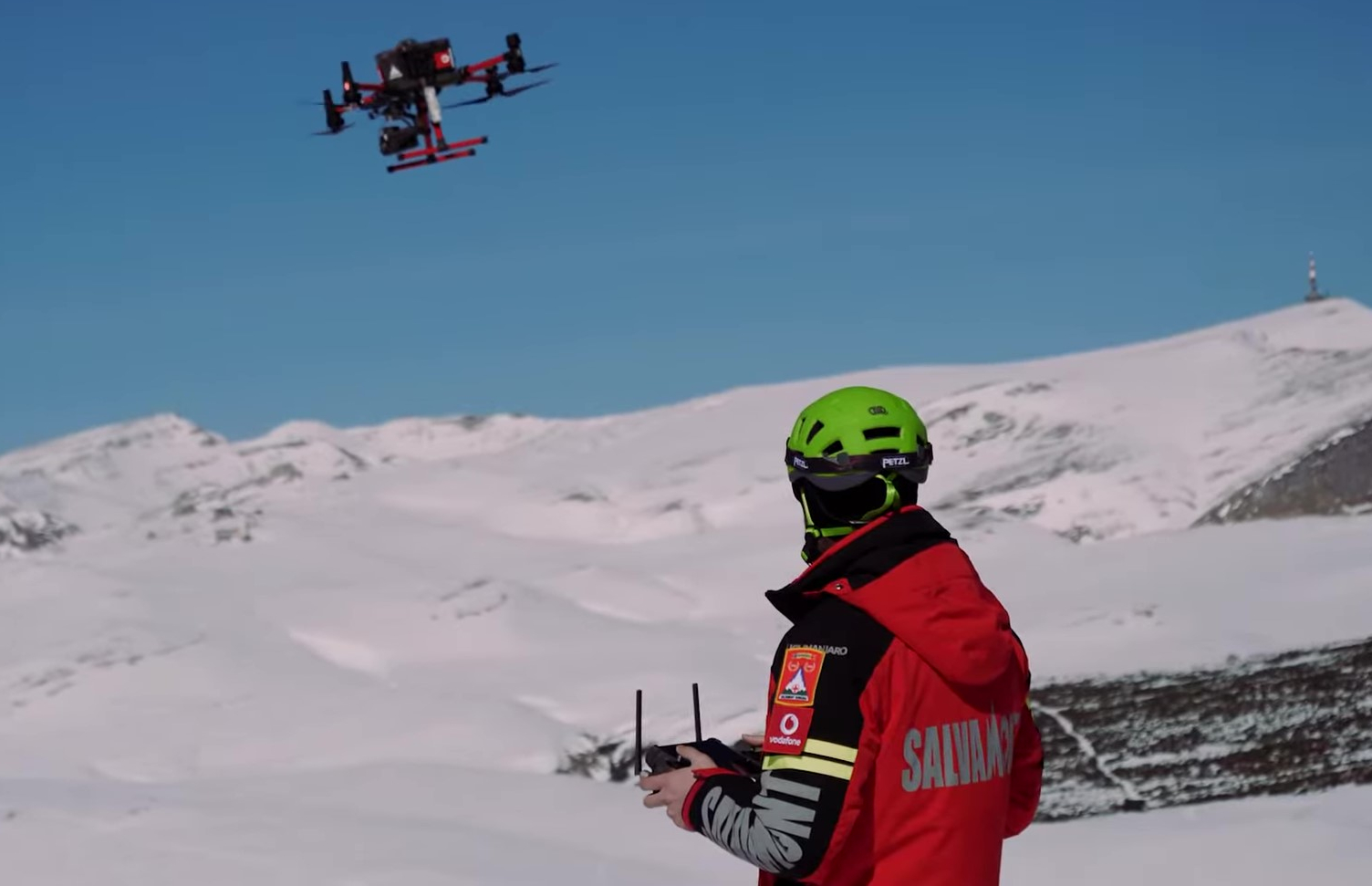
For missions video alone can't handle.
From property boundaries and construction layouts to outage markers, hidden infrastructure, and search locations — Dronial gives operators the context to work faster, navigate smarter, and take on the hard ones.
Learn moreFrom the field
Operators who fly with the lines on.
“I can walk a buyer along the exact recorded lines, live, right over the land. It closes the gap between the plat and what they're standing on.”
“Finding the right pole used to mean cross-checking a map on the ground. Now the assets are pinned in the feed as I fly the line.”
“Setbacks and stakeout points sit right on the pad in the air. We catch encroachments before anyone pours concrete.”
“The overlay holds when the drone banks — that's the part I didn't believe until I saw it. The lines stay on the ground.”
“Briefing a team is faster when everyone sees the same boundaries over the live scene. No more pointing at a paper map.”
Questions
Good to know.
Which drones does it work with?
DJI to start — Mavic 3 series, Air 3, and Mini 4 Pro. Dronial reads the live video feed, so any supported aircraft works the same way.
What boundary files can I import?
KML and KMZ. Bring what you already have — county GIS exports, a recorded survey, or plots you've drawn yourself.
How does it stay accurate as the drone moves?
Dronial registers the overlay to the terrain using US elevation data, so lines hold their place on the ground as the aircraft climbs, banks, and turns.
Does it work offline?
Yes. Load your boundaries and terrain data over a connection once, then fly anywhere — the overlay runs fully offline in the field.
Where does it work?
Across the United States at launch, with terrain coverage nationwide. More regions are on the way.
See your land before you fly it.
Free to download. Import your boundaries and take off with the lines already drawn.